Warning: ini_get_all() has been disabled for security reasons in /smarthosting/content/d/dodsonbeau/.website15332/wp-includes/load.php on line 1020

Warning: ini_get_all() has been disabled for security reasons in /smarthosting/content/d/dodsonbeau/.website15332/wp-includes/load.php on line 1020
Beau's Journey » 2008 » February

Archive: February, 2008

February 9, 2008: Cross County Skiing…

  We had a great time up at the Ice Hotel cross country skiing.  This was my second time and Joey’s first time.  I think he struggled  a bit at first but then he did great.  I think he fell more times than I did but I think I feel in deeper snow.  lol  I was pretty much covered in snow by the time it was over.  The temperature was around 25 degrees.  No wind.  Peaceful area…lot of beautiful snow covered trees.  Perfect cross county ski weather.


Joey in the back…David up front


That would be me


Joey making his way up the hill…


February 8, 2008: 120+ Mile Tornado Track in Arkansas – Update

  This is just incredible.  Almost unheard of.  A single tornado on the ground for over 120 miles. 
This was one of the killer tornadoes from earlier in the week.


PUBLIC INFORMATION STATEMENT
NATIONAL WEATHER SERVICE LITTLE ROCK AR
1255 PM CST SAT FEB 9 2008

…AERIAL SURVEY COMPLETED FOR PRIMARY TORNADO TRACK OVER NORTH
ARKANSAS…

AN AERIAL SURVEY WAS COMPLETED LATE THIS MORNING FOR THE TORNADIC
STORM THAT TRACKED ACROSS WEST CENTRAL AND NORTHERN ARKANSAS ON
TUESDAY. THE AREAL SURVEY TEAM CONCLUDED THAT THE PATH OF THE
TORNADO WAS CONTINUOUS FROM YELL COUNTY… NORTHEASTWARD INTO SHARP
COUNTY. THE TORNADO WAS EARLIER RATED AN EF4. BASED ON PRELIMINARY
INFORMATION…THE LENGTH OF THE TORNADO TRACK WILL BE AT LEAST 120
MILES LONG.

AN NWS GROUND SURVEY TEAM HAS ALSO FOUND THE STARTING POINT OF THIS
TORNADO TO BE 5.6 MILES EAST SOUTHEAST OF CENTERVILLE…IN YELL
COUNTY. AN ENDING POINT…ALONG WITH A MORE DETAILED PATH LENGTH…
WILL BE DETERMINED ONCE THE TEAMS RETURN LATER THIS AFTERNOON.

THE AERIAL SURVEY TEAM CONSISTED OF JOHN LEWIS…SENIOR FORECASTER
AND BRIAN SMITH…FORECASTER. THE GROUND SURVEY TEAM IS JOHN
ROBINSON…WARNING COORDINATION METEOROLOGIST…AND RENEE
FAIR…METEOROLOGIST IN CHARGE. THEY ARE ALL FROM THE NATIONAL
WEATHER SERVICE IN LITTLE ROCK. THE WEATHER SERVICE WOULD ALSO LIKE
TO THANK THE CIVIL AIR PATROL FOR PROVIDING THE PERSONNEL AND
AIRCRAFT THAT WERE USED TO CONDUCT THE AERIAL SURVEY.


February 8, 2008: The hotel this evening…


I am sure it will be a bit warmer for us tonight! 


February 8, 2008: Winter Carnival – Quebec City, Quebec, Canada

  So once we got back to the "real" hotel we took some HOT showers and a nap.  Well some of us took a nap – I didn’t.  I wondered around a bit and bought some sweatshirts (someone forget to pack extra…ok that was me).  We headed down to the Winter Carnival around 2 p.m.  LOTS of people out!  Lot of bundled up people.  With snow in the air and temperatures in the upper teens and lower twenties, it was one of those days that you might want to put on an extra pair of socks and pull out the long johns (always good for warm legs). 

  They have a mascot (no it is not the Michelin Tire Man) named Bonhomme.  Big snowman looking guy.  He stands seven feet tall!  Friendly – cousin of Frosty the Snowman?  Perhaps.


One of the many ice sculptures around the city…(the ice sculpture is the one on the right)  🙂


 Native American Ice Sculpture


OHHHHH and just how much snow is there on the side of the road?  Here are some photos from inside our cab this morning.  LOTS AND LOTS AND LOTS of snow!


February 8, 2008: Ice Hotel and Winter Carnival – Quebec City

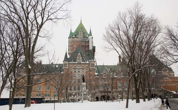
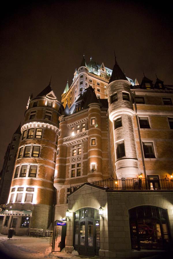
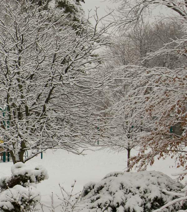
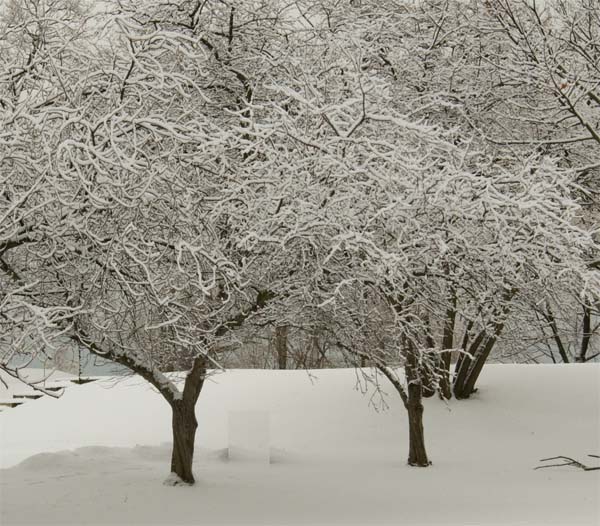
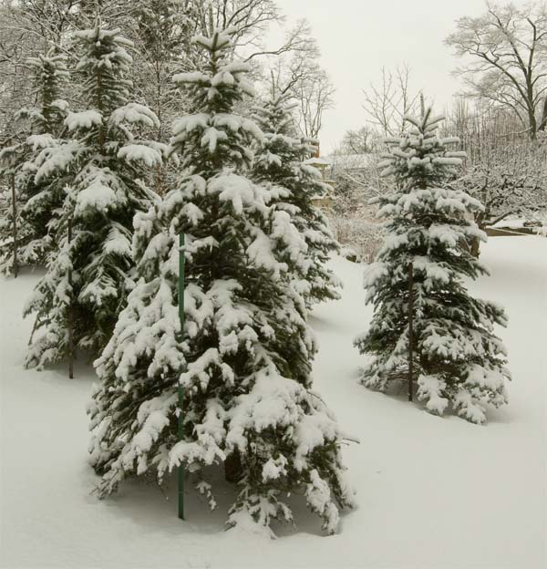
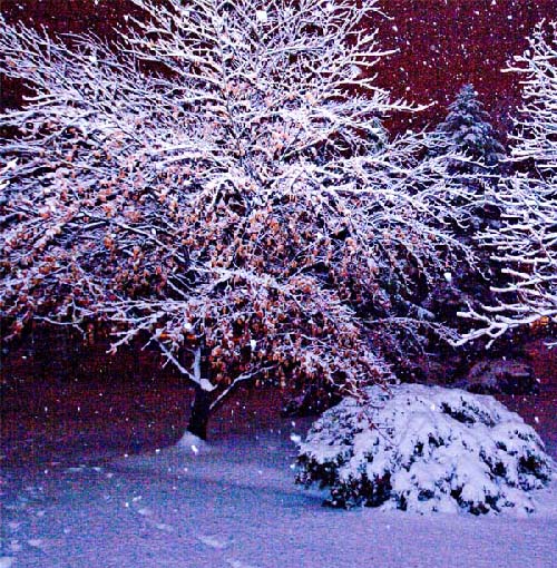
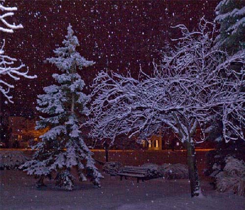
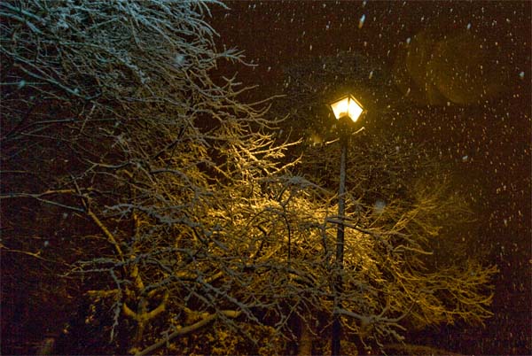
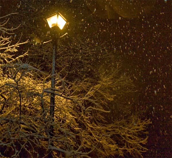
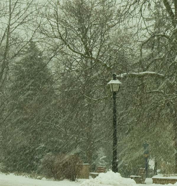
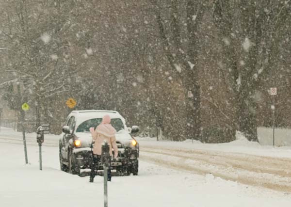
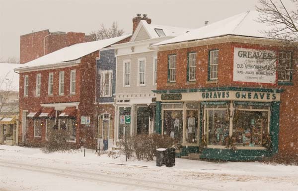
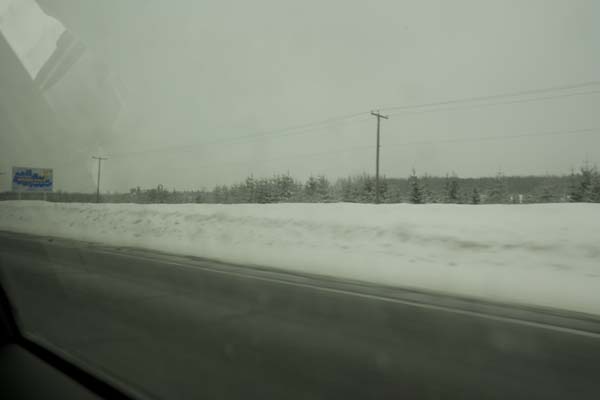
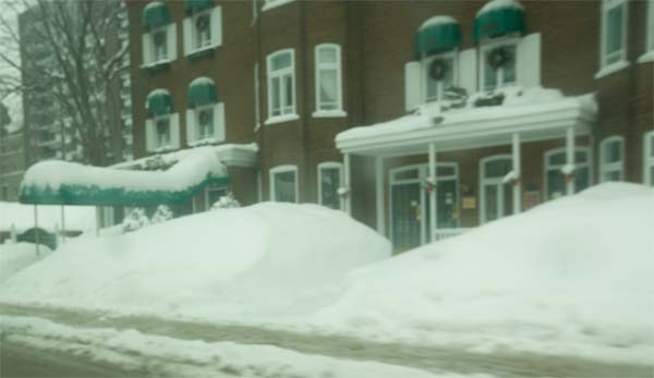
  So many photos and so little time!  I am worn out.  The whirlwind of the last 24 hours!  I did survive the ice hotel.  Thankfully!  I guess I was cold a few times in the night.  It was fun though and well worth the trip.  The hotel itself is about 45 minutes from Quebec City.  It is north in the hills.  Lot of snow up there!  Lot of snow down here as well!  So much snow that you can barely see over the piles of it as you drive the roads.  I love it – of course!

  I have a ton of photos to go through but here are a few from the hotel last night.  They keep the temperature around -4 to -7 Celsius – pretty cold.  I have to admit that if you run around without your gloves on then your fingers start to burn.  Just Say No to frostbite.  🙂  My motto (ever since that nasty little experience in Montreal a few years ago…but I digress).  Anyway, when it was time to get up this morning (8 a.m. they wake you up) you don’t dilly daddle.  YOU GET UP!  It is cold and it doesn’t take you long to realize that you either A) get you clothes on quickly or B) start losing body parts left and right!  I chose A of course.  It took me about 1 minute to get dressed.  lol  You can’t let your feet touch the ice either…so there is this odd dance of standing on the bed to put your pants on and then sliding your boots over to the side of the boot and slipping them on. 

  You also either get up or risk being photographed by the tourists, who show up around 9 a.m.  Now I am not shy (hush Kristy) but I don’t realllllly want to be photographed by a bunch of strangers in an ice hotel (never know where those photos might show up).  The dirty snow channel?  Anyway…

  Here are a few photos that I took last night – I will add more later.


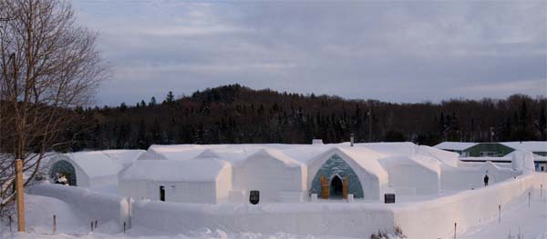
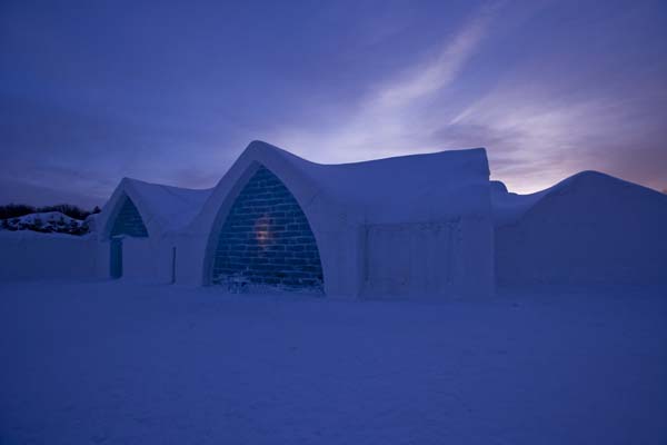
That is what it looks like from up on the hill. 


One of the many carvings on the wall.  This is about seven to eight feet long and five to six feet tall.  Solid ice.


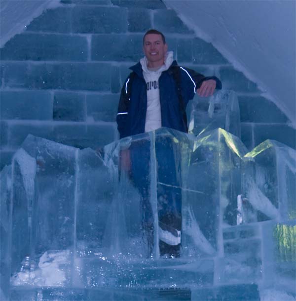
How about this for an ice carving!  This is about 11-12 feet tall and 15-16 feet wide. 


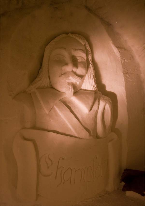
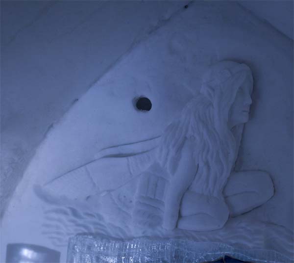
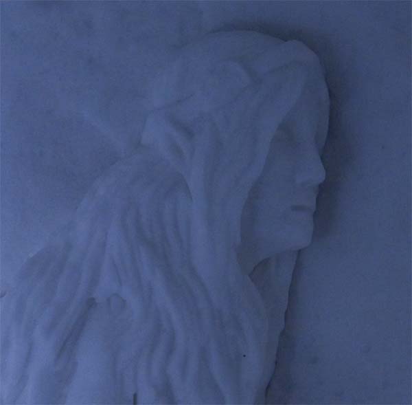
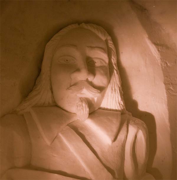
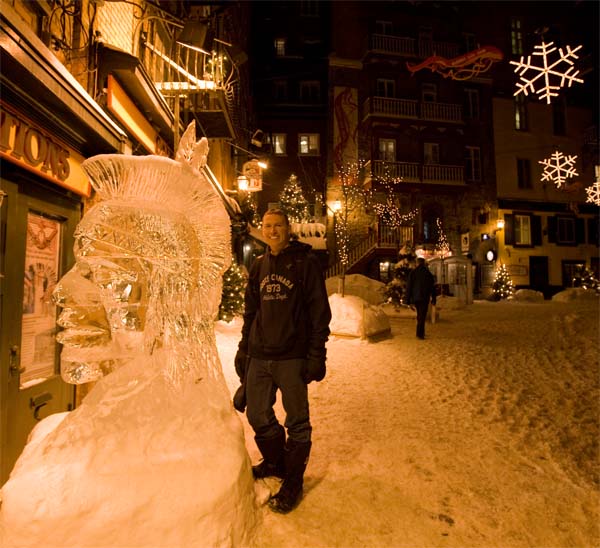
Another carbing on one of the ice walls.  Perhaps someone can guess who this is?  lol Shouldn’t be tooo
hard.


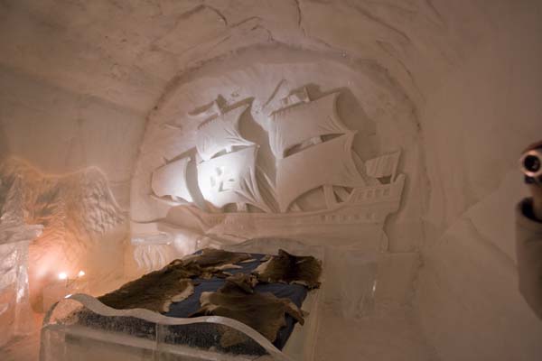
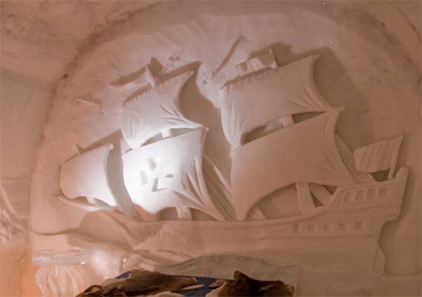
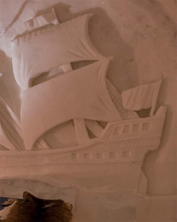
I loved this one!  Beautiful ship.  Huge piece of work in the ice.


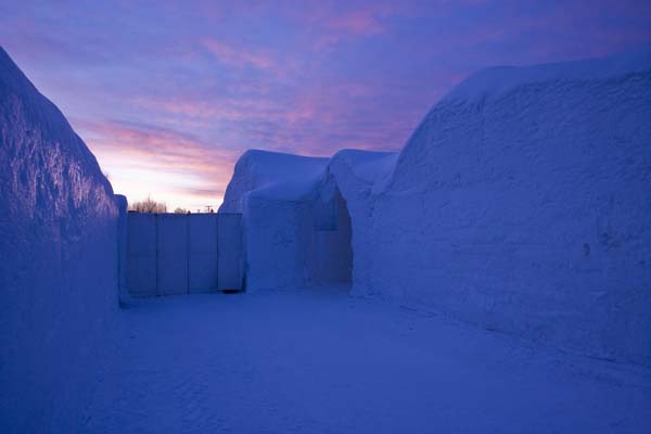
Outside before sunset.  Looks cold?  🙂


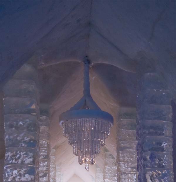
  How about a chandelier made of ice?  🙂


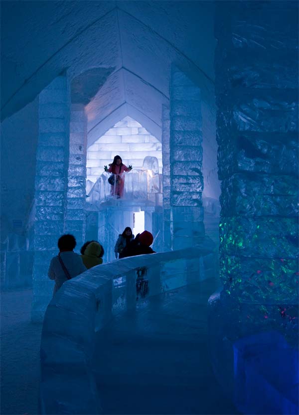
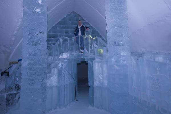
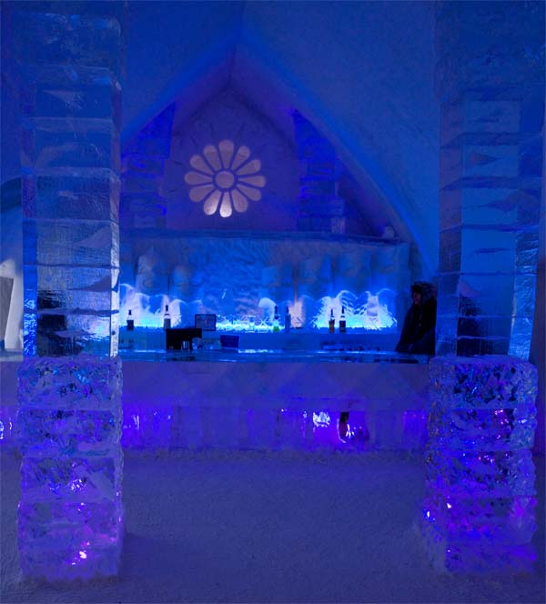
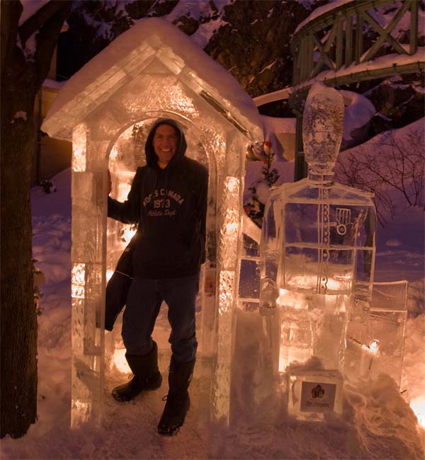
 They even have a chapel for those who want to go to church.  Cold service.


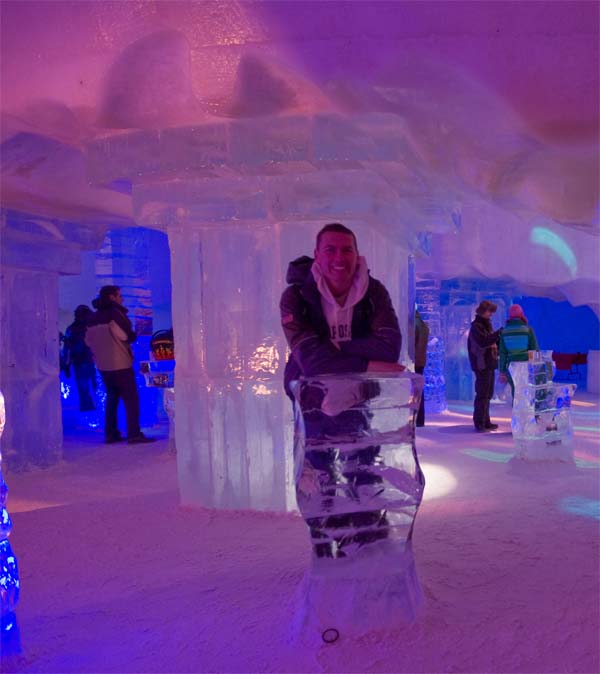
How about we build our house out of ice?  We can even have a little ice cream bar.  🙂


This was the club inside of the hotel.  People standing around talking and dancing.  The music was
great!  Lot of remixes.  Just what I like. 


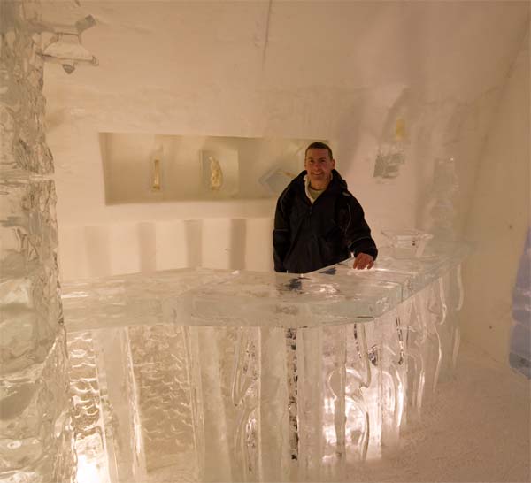
This is the club area – bad in the background there.  You can buy drinks, cokes, snacks.  Cold drinks of
course!


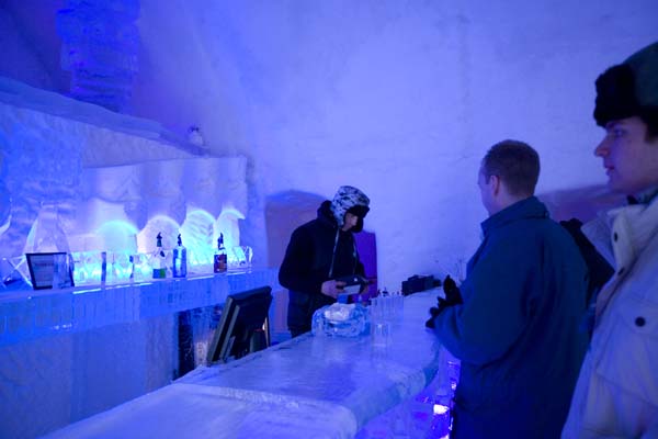
BRRRRRRRRRR – NOW THAT IS A COLD JOB!!!


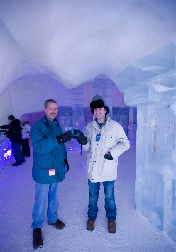
Joey and David – those glasses they are drinking from are made of ice!


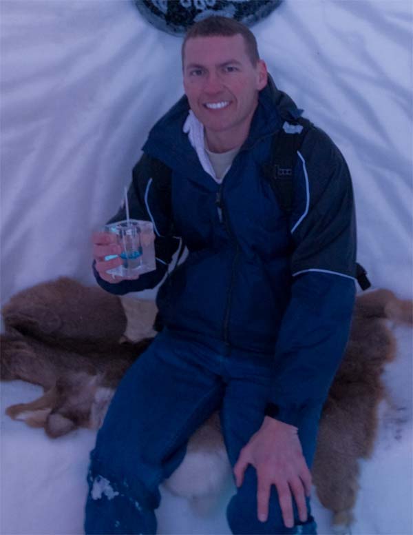
I ordered a Pepsi and figured I would get a nice glass made of ice but they gave me a cup.  LOL  So Joey
let me hold his "ice" glass.  It about slipped right out of my hands.  Pretty cool though!!!


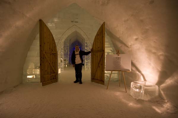
This is the entrance of the Ice Hotel (the second entrance – somewhere I have some photos of the front as
well).


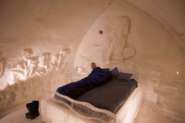
TIME FOR BED!!!!  This was our room for the night.  A bit chilly don’t you think?  Sleeping on a block of ice is
like heaven for me.  I mean what more could a snow addicted winter weather weenie possibly want out of life? 
TO LIVE IN A HOTEL MADE OF ICE!!!!!  Now if I could just find some internet connections…


At least I didn’t have to worry about bedbugs.  🙂


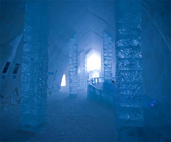
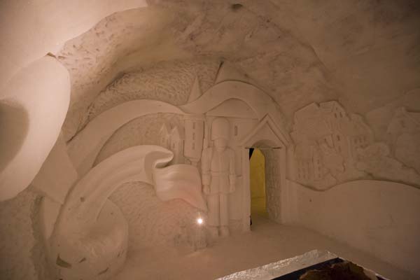
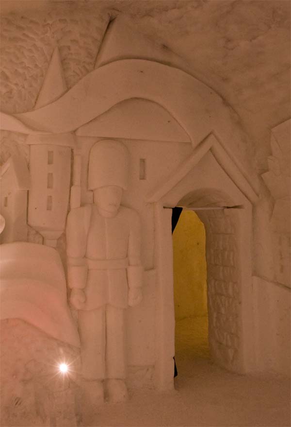
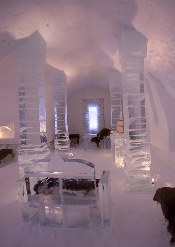
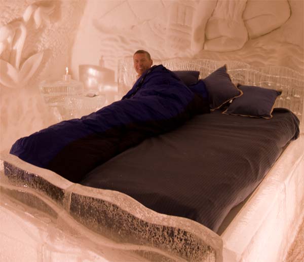
The Ice Hotel – one of the many rooms and hallways. 


OKAY I WILL WORK ON MORE PHOTOS LATER. 


February 8, 2008: Update on the tornado outbreak…101 Tornadoes

  Here is an updated map of the tornado reports from this recent super outbreak.  There are now 101 tornadoes listed.  This is a preliminary total.  It would go higher or lower once the storm surveys are finished.

February 7th 2008 Blogging from inside the ice hotel

I am inside the Ice Hotel. The temperature is minus 6 degrees celcius. It is cold and I can see my breath. I am inside a sleeping bag that is made for minus forty degrees. The bed is made of ice – there are ice carvings on the wall – several flowers and there is a big angel carved in the wall behind us.  Ahead of us is a big gnome. The hotel is amazing – there is even a club with music and dancing. I have camped in the Jordan desert and now the ice hotel – two extremes to say the least. We had a great day now if I can just survive until morning lol. I decided to sleep all natural – just to say I did it (I know Kristy will laugh at that)!!!! Is that toooo much info. It will take me awhile to go through all the photos.  Will try to post a few tonight.  Okay signing off from the winter capital of North America.


February 7, 2008: Quebec City – Winter Carnival

  First off, my thoughts are with everyone back home.  I have not been able to view all of the coverage but I have been following my emails and the reports of the damage in Tennessee and Kentucky.  I know it is terrible.  There are few events that compare to this outbreak.  They do happen every so many years though.  The 2003 outbreaks were rough.  We all remember those.  Let’s just hope this is not an indication of what spring is going to be like.  What we saw two days ago is what a HIGH RISK event can bring.  Anytime I say there is a high risk from the SPC then it is a serious situation.

  It could have been much worse for our few counties.  Thankfully, for the most part, we were spared this round of tornadoes.  Carlisle County has damage, Calloway County was hit by at least one or two tornadoes, Trigg County and counties to the north and east of there were hit very hard.  The latest death toll is up to 55 – I have heard it could be as high as 70.  Different reports from Tennessee. 

  Tony Crouch – yes the famouns Tony Crouch from Mayfield – sent me this photo of some of the damage.  This was the K&N Restaurant in downtown Mayfield.


  We made it to Quebec City – City of ice and snow!  The Winter Carnival will be held this week and into the following week.  Lot of people will be coming and going.  We are heading to the Ice Hotel tonight.  Should be an experience.  Probably something you do once in life.  🙂

  It is a hazy sunny morning.  You can jussssttttt make out the sun through the clouds.  A few flurries are falling from time to time as well.  We are staying at the Fairmont – Le Chateau Frontenac on the St Lawrence Seaway.  I can see lots of drifting fog outside the window…large chunks of ice are floating down the river.  You can almost walk across!  Plenty of breaks in the ice though and you can also see the water.  Occasionally a large ship (sea vessel) passes by.  The snow covered roof tops can be seen from my bay windows.  Looking southward or southeastward I do believe…row after row of houses.  I would say the snow is piled up as deep as three to four feet in most people yards.  Coming into the city there were piles much higher than that.  Winter in Quebec!


If all of our furniture were made of ice this is what it would look like.


Some of the Old Town area (near where we are staying)


There are plenty of snowmen around.


This is the hotel we are staying in (see link at the top of the page/post)


That would be us 🙂  the hotel in the background. 


That is our hotel room up there on the corner – last night 🙂


Phone home 🙂


Feb 6, 2008: Updated Map From Outbreak…91 Tornadoes Listed

  Preliminary numbers,  SPC now 91 tornadoes listed.  Just incredible.  55 deaths and over 200 injuries were reported from the deadly outbreak of thunderstorms.  The majority of those deaths in Kentucky and Tennessee. 

Feb 6, 2008: Calloway County Tornado – East of Murray

PUBLIC INFORMATION STATEMENT
NATIONAL WEATHER SERVICE PADUCAH KY
400 PM CST WED FEB 6 2008

…STORM DAMAGE SURVEY RESULTS FOR A PORTION OF CALLOWAY COUNTY
KENTUCKY ON TUESDAY FEB 5…

THE FOLLOWING IS A FINAL DAMAGE ASSESSMENT WHICH OCCURRED NEAR
POTTERTOWN AND BOATWRIGHT KENTUCKY.

* EVENT DATE:  TUESDAY, FEBRUARY 5, 2008

* EVENT TIME:  625 PM CST TO 630 PM CST

* EVENT TYPE:  TORNADO

* EVENT LOCATION:  BEGAN APPROXIMATELY 1.8 MILES NORTHEAST OF
POTTERTOWN KENTUCKY AND ENDING 1.5 MILES NORTHWEST OF BOATWRIGHT
KENTUCKY.

* PEAK WIND:  94 MPH

* RATING:  EF-1

* DAMAGE DIMENSIONS:  APPROXIMATELY 1.2 MILES IN LENGTH AND
AVERAGING 90 YARDS WIDE…WITH MAXIMUM WIDTH 150 YARDS.

* INJURIES: NONE

* FATALITIES:  NONE

* DISCUSSION/DAMAGE: ONE HOME WITH SHINGLE AND SOFFETT DAMAGE. ONE
HOME WITH 2 LARGE WINDOWS BLOWN OUT WITH SIGNIFICANT INTERIOR
DAMAGE. WINDS ENTERED THE ATTIC THEN BLEW OUT THE INTERIOR
CEILINGS…THEN EXITED THE HOME THROUGH THE BASEMENT WINDOWS.
SPORADIC TREE DAMAGE ALONG THE PATH LENGTH.


Feb 6, 2008: EF4 Jackson County, Alabama

PUBLIC INFORMATION STATEMENT
NATIONAL WEATHER SERVICE HUNTSVILLE AL
635 PM CST WED FEB 6 2008

…PRELIMINARY STORM SURVEY INFORMATION FROM JACKSON COUNTY
ALABAMA…

A PRELIMINARY STORM SURVEY OF THE DAMAGE INCURRED ACROSS JACKSON
COUNTY ALABAMA HAS BEEN COMPLETED BY NATIONAL WEATHER SERVICE AND
JACKSON COUNTY EMERGENCY MANAGEMENT PERSONNEL. INITIAL FINDINGS ARE
AS FOLLOWS:

* LOCATION: THE MOST SIGNIFICANT DAMAGE OCCURRED NEAR THE
INTERSECTION OF COUNTY ROAD 60 AND 177 BETWEEN THE ROSALIE AND
PISGAH COMMUNITIES IN EASTERN JACKSON COUNTY.

* PATH LENGTH: STILL BEING DETERMINED
* MAXIMUM PATH WIDTH: 3/8 MILE
* ESTIMATED PEAK WIND: 180 MPH
* PRELIMINARY RATING: EF-4

* FATALITIES: 1
* INJURIES: UNKNOWN

ADDITIONAL INFORMATION INCLUDING A MORE COMPLETE SUMMARY WILL BE
MADE AVAILABLE LATER TONIGHT.

Feb 6, 2008: EF4 Jackson, Tennessee

  The Jackson, Tennessee tornado has been rated EF4.  This is the deadliest outbreak for the State of Tennessee since 1933.


Feb 6, 2008: NIGHT OF TWISTERS ACROSS THE OHIO AND TN VALLEY

  Early reports are at least 78 tornadoes.  Numerous reports of major damage across portions of Arkansas, Missouri, Kentucky, Illinois, Tennessee, and Mississippi.  At least 54 dead and over 200 injured.  Jackson, Tennessee and Memphis, Tennessee have been hit very hard.  Portions of Kentucky have also been hit by a tornado.  At least three dead in Kentucky.  It appears the worst damage area is from south of Murray and then northeast through Kentucky Lake and into Central Kentucky.  

  Joey’s sister road at the storm in the basement of the hospital in Jackson, TN.  They were in shelter for several hours as multiple tornadic cells moved through.  She is OK but reports a lot of damage.

  Early reports are that some towns have substantial damage indicated at least EF3 strength and possible EF4 damage.

  The map below is from 2 a.m.  A lot more tornadoes will still be added to this.  It does give you an idea on the extent of this outbreak.  This was the first high risk that I have EVER seen in the month of February for the Paducah Area.  This is also the largest February outbreak I have ever seen.  I hope spring isn’t going to be like this.

  Meanwhile, we are under a winter storm warning up here in Canada.

Red Dots Are Tornadoes…

February 3, 2008: Severe Thunderstorm (tornado?) Outbreak Possible…

  Heads up for those area the Ohio and Tennessee Valleys over the next 48 hours.  A powerful storm system will likely bring heavy rain, severe thunderstorms, and even tornadoes to the region.  At this time it appears the low will track through Western Kentucky.  IF this is the case then the most severe weather will likely stay a bit to the south and east of Paducah.  It will be a close call though. 

  The Storm Prediction Center has placed the region in a risk for severe weather on both Monday and Tuesday.  I do believe we will have several rounds of strong to severe thunderstorms during this time period.  Listen to NOAA Weather Radio for later updates/watches/warnings.


February 2, 2008: Southern Ontario – Wet Snow Event

  A beautiful morning across Southern Ontario.  During the night a heavy wet snow fell – coating everything with "shaving cream".  My favorite kind of snow!  Niagara On The Lake this morning was beautiful.  A Winter Wonderland right out of the movies.  Not as impressive as Boulder last year but still beautiful.

  Here are some photos I took earlier today…


Lake Ontario in the background…


Grape Orchards for wine making…


Grape Orchards for wine making…


Grape Orchards for wine making…


February 2, 2008: GORKY PARK II – this time its personal…

An investigator on the Ontario police force relentlessly pursues the solution to a triple gingerbread man homicide which occurred in Niagara’s Gorky Park.  He finds that no one really wants him to solve the crime because it is just the tip of a complex conspiracy which involves the highest levels of the Niagara city government.

THIS FILM HAS NOT YET BEEN RATED


February 1, 2008: Gingerbread Men Cookies and a Winter Wonderland…

  At 8 p.m. tonight we had heavy snow falling here in Niagara On The Lake.  BIG wet flakes!  Most of the flakes were bigger than quarters.  It looked like feathers were floating down from heaven.   Needless to say I had to go out and take some more photographs.  I was in bed already watching TV.  Snow addiction will do that to you…that and photography addiction.  lol  On top of that we found a bakery that sold Gingerbread Men!  I have a special place in my stomach for Gingerbread Men Cookies!!!!!  They are nearly impossible to find in Paducah.  🙂 

  Some of the photographs I took over the last couple of hours…


February 1, 2008: Niagara On The Lake…Snow

  Snow continues this afternoon.  We had a lot of sleet and freezing rain this morning.  Thankfully that has changed over to some big snowflakes.  Not cold at all.  Temperatures are right around freezing.  Nice!

  Beau Dodson Photographs…


February 1, 2008: Easy come…easy go

  Wel,l what started out as a nice little snow, ended up as another disappointing event back in Western Kentucky.  The dry slot and warm air killed the snow by afternoon.  Areas to the west though had significant snow and ice.  It seems like winters just aren’t what they used to be.  I guess these patterns come and go.  Lots of rain (thunderstorms?) on tap for next week. 

  Snowing here today.  It looks like a mixture of sleet and snow.