January 23, 2009: Coming along with the house – winter storm approaching
Well, it was warm this morning but turned colder in the afternoon. A winter storm is approaching the region. Sleet and freezing rain will likely develop on Monday night and continue into Tuesday. Heavy icing is possible. Still too early to know exact amounts or where the rain/snow line will set up shop. Stay tuned on this one – could get pretty bad.
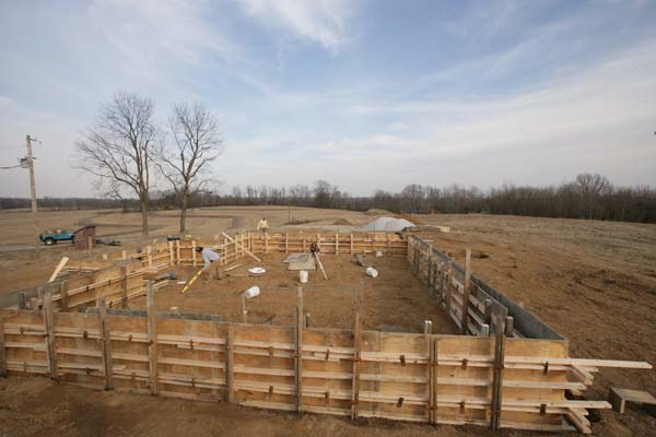
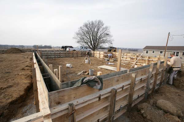
They continued to work on forming up the foundation today. Looks like they might pour concrete tomorrow (Saturday). We are also working on the concrete work for the tower tomorrow morning. Bright and early! Looks like the tower can actually be placed on the stand next week (weather permitting).
I cut brush today and used the chain saw to cut down a small tree or two (in the way of Southern Illinois Electric). They are removing poles from the field. Lot of brush and small shrub/trees.
Heads up everyone. A major ice storm is likely to hit the region next week. Here is this mornings email update:
January 23, 2009
Quick update tonight –
Although it is VERY early to make a call – the latest guidance is showing a major ice storm for most of our counties Monday-Wednesday of next week. Current model data shows over 1" of freezing rain for Paducah. IF – that were to occur then major power outages would likely occur. This would be a bigger ice storm than last February’s. At least for West Kentucky.
IF – that is a very big IF – the model data is correct then emergency management should at least for aware of the potential for a significant ice storm next week.
This storm is 3-4 days out, however, the trend is towards a bigger event. We are all aware that winter storms are notoriously difficult to forecast in this region. A slight change in the storms path will impact that forecast SIGNIFICANTLY.
It will probably be Sunday until confidence is high on how this forecast will pan out.
I would encourage (since it is Friday now) that everyone keep abreast of the forecast of the weekend. Preparations may be necessary for a significant ice storm across the region.
Again, still too far out to know for sure. Model data tonight, however, is indicating the threat for a major ice storm next week.
Stay tuned…
Beau Dodson
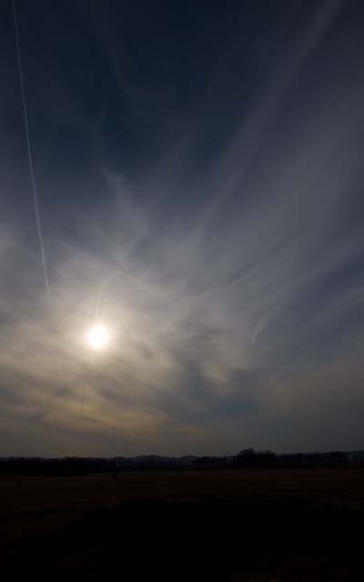
Lot of cirrus in the sky today. Made for some cool photos.