Date: Sunday, April 19, 2009
Call to action: Spotters activation may be required later this morning and into the afternoon hours.
This forecast was issued by – Beau Dodson
Meteorological Specialist for the Paducah/McCracken County Office of Emergency Management
This outlook is issued for portions of southeast Missouri, South Illinois, southwest Indiana, State of Kentucky, West Tennessee, and northeast Arkansas.
Effective from .
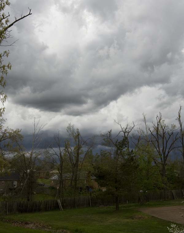
Weather Event/Threats: Strong to possible severe thunderstorms later this morning and afternoon.
Storm Mode/Type: Thunderstorms will form if the sun comes out later this morning and into the afternoon hours. Wind fields are weak but colder air aloft will help trigger strong/severe storms. Large hail and gusty winds will be the main threat. Isolated tornadoes will be possible. SPC has placed us in a slight risk for today.
Storm Movement: East/Northeast 30+ mph
Storm Prediction Center Risk Level: Slight – (remember there are three levels of risk – slight/moderate/high).
Area impacted: Entire region is under a risk for severe thunderstorms.
As always, severe weather events are normally isolated. One county may receive severe storms while the county next to it escapes with very little in the way of significant weather. This is the nature of severe weather. As always, it is also impossible to forecast what county will receive what type of severe weather. So, those with an interest in this storm system or concerned about the severe weather potential should listen to NOAA weather radio and local media for later statements and the possibility of watches and/or warnings.
Paducah’s hazardous weather outlook can be read at the bottom of the email.
Storm Prediction Center
http://www.spc.noaa.gov/products/outlook/
NWS Paducah (radar/warnings)
http://www.crh.noaa.gov/pah/
NWS Jackson, KY (radar/warnings)
http://www.crh.noaa.gov/jkl/
NWS Louisville (radar/warnings)
http://www.crh.noaa.gov/lmk/
NWS Memphis (radar/warnings)
http://www.srh.noaa.gov/meg/
NWS St Louis (radar/warnings)
http://www.crh.noaa.gov/lsx/
Large Radar
http://radar.weather.gov/Conus/full.php
Beau Dodson
Meteorological Specialist for the Paducah/McCracken County Office of Emergency Management
NWS HAZARDOUS WEATHER OUTLOOK
ISSUED BY THE PADUCAH, KY NWS OFFICE
http://kamala.cod.edu/ky/latest.flus43.KPAH.html