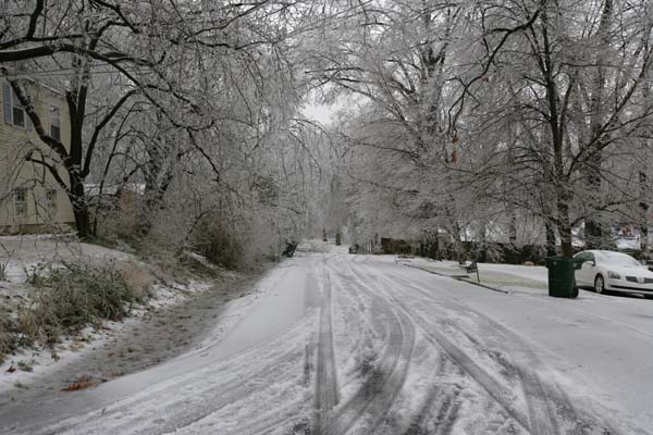
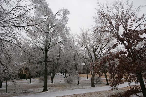
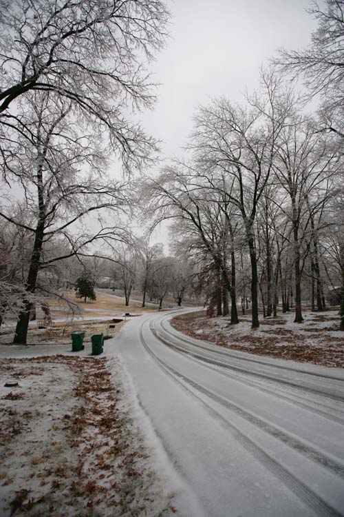
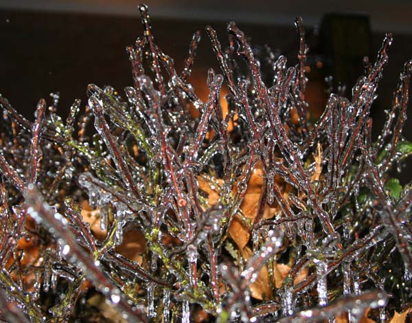
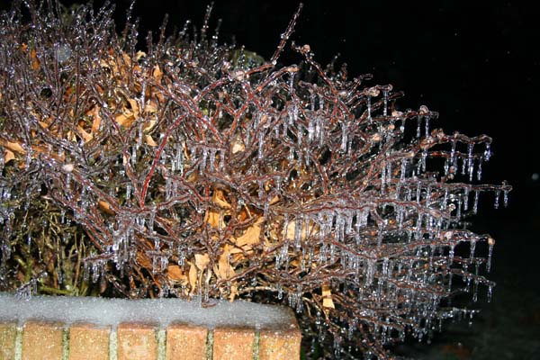
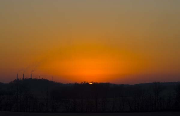
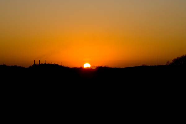
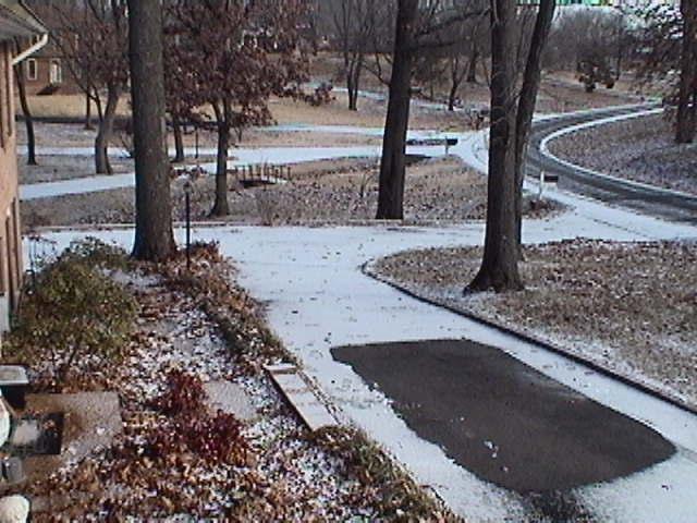
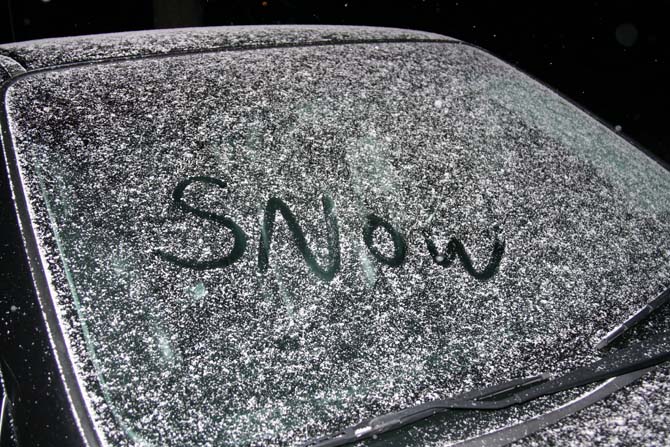
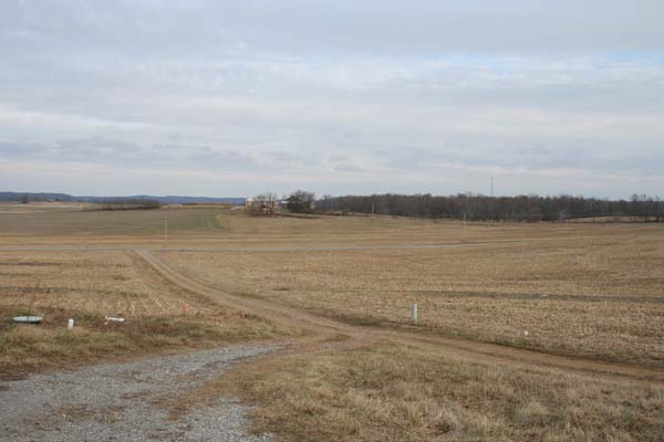
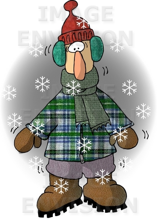
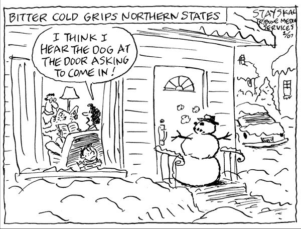
Today was cold. Very cold! Temperatures fell into the lower 20s overnight. It was windy up on the hill. It is always windy up there. It also always feels colder up there. I guess that is because it is windy!
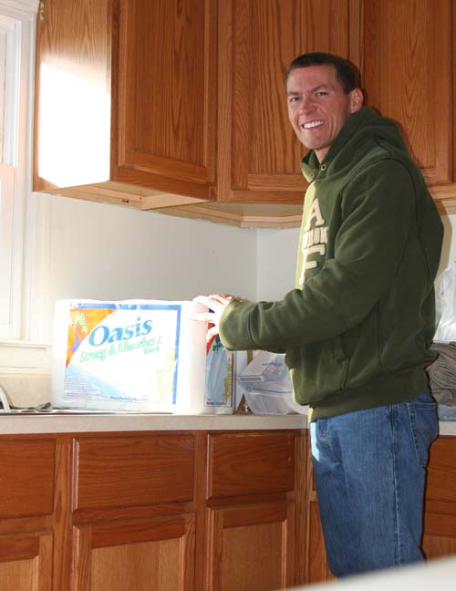
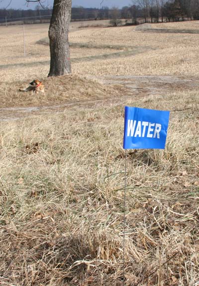
My dad finished fixing the water problems in the old house. We now have a shower and running water in the kitchen. Good – good!
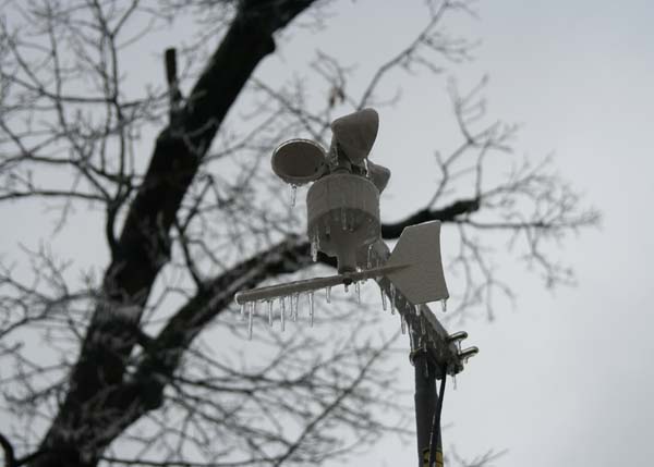
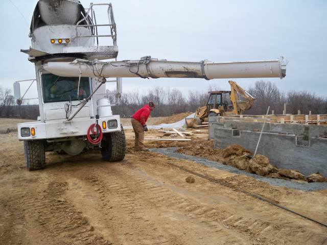
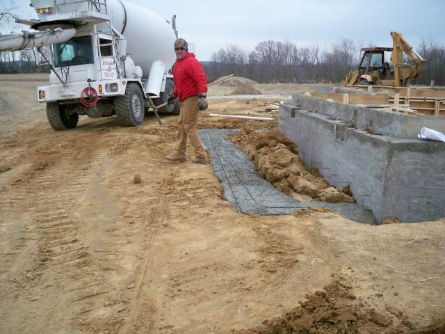
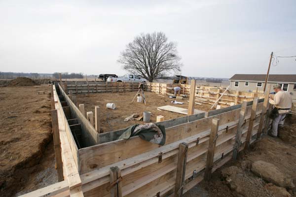
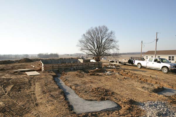
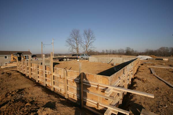
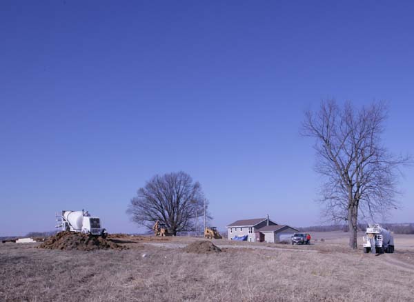
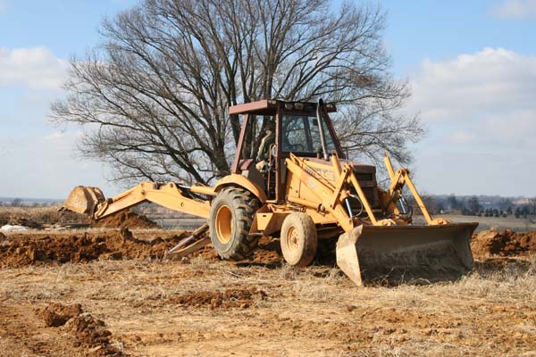
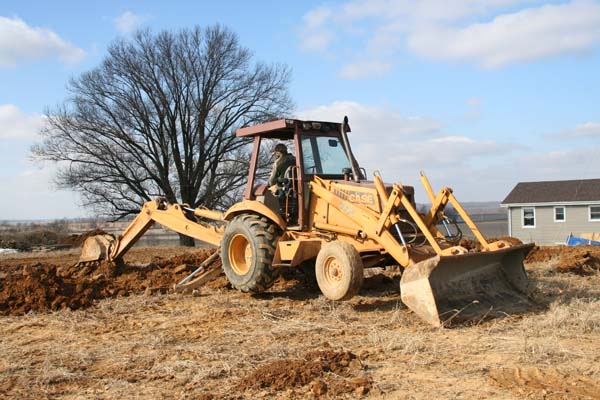
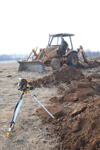
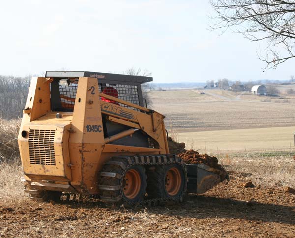
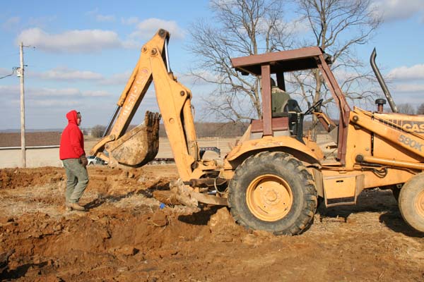
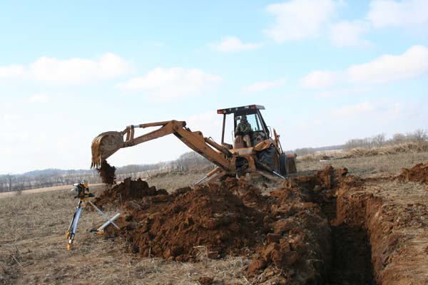
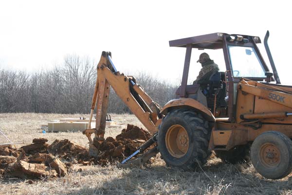
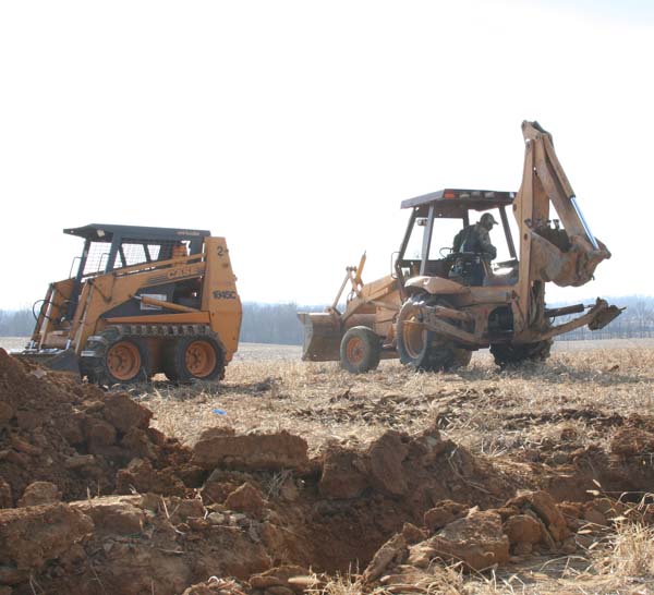
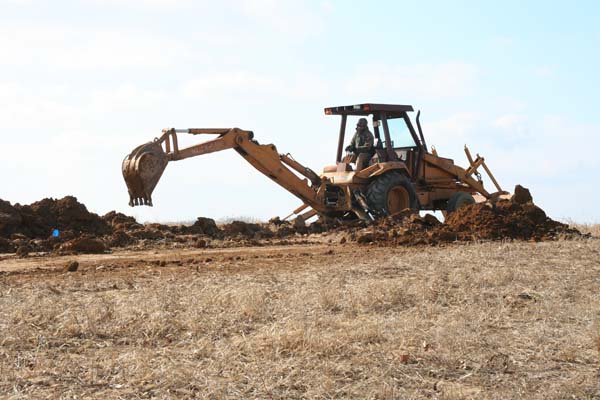
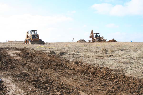
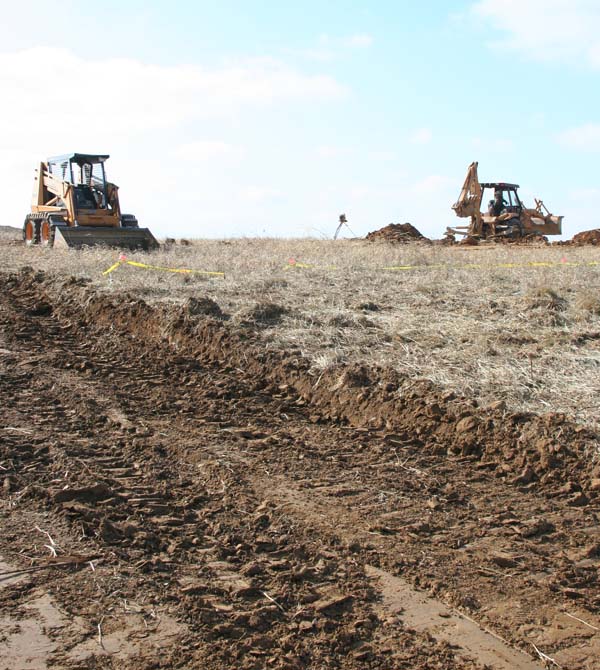
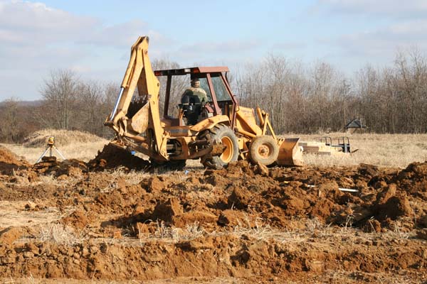
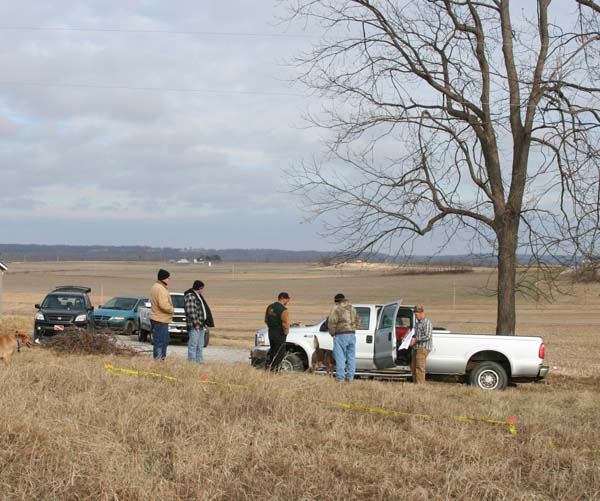
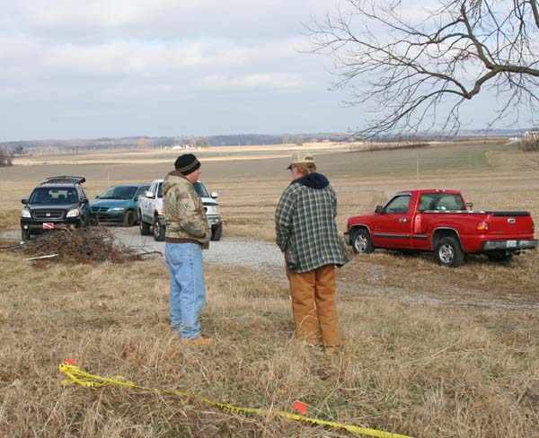
They poured the foundation walls today. So that is good news. They also poured the concrete for the emergency management radio antenna tower. It was a bit deeper and bigger than we needed. I don’t think the tower will be going anywhere…that is for sure.
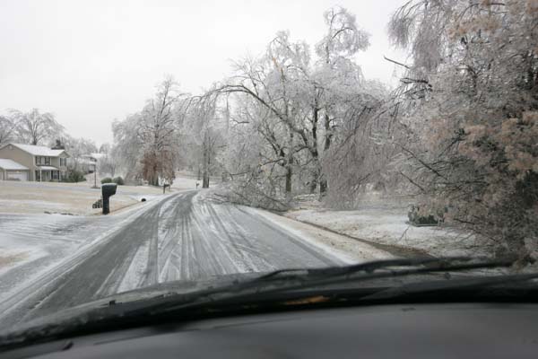
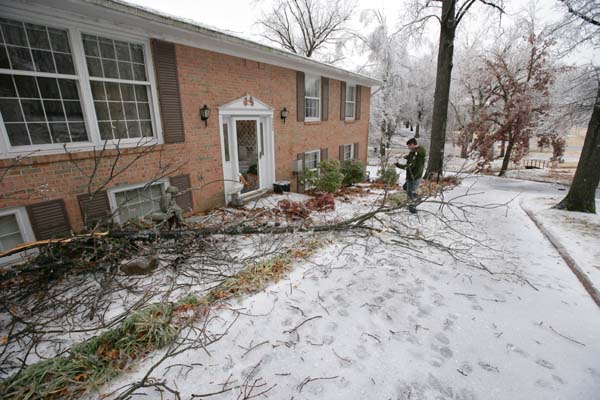
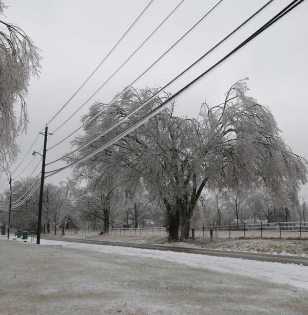
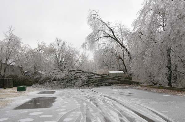
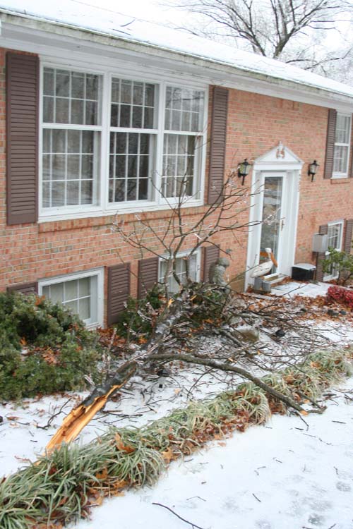
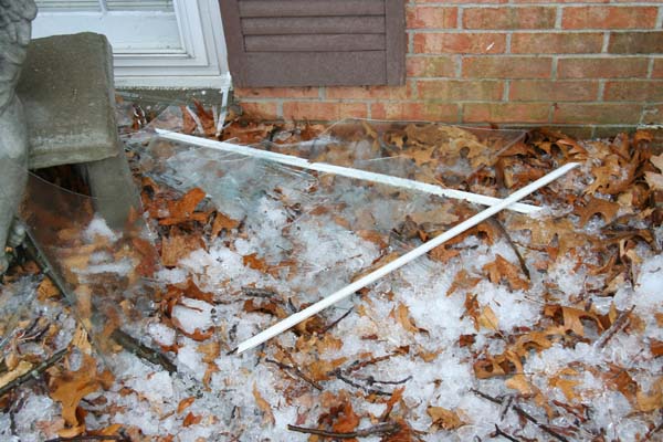
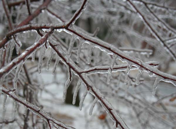
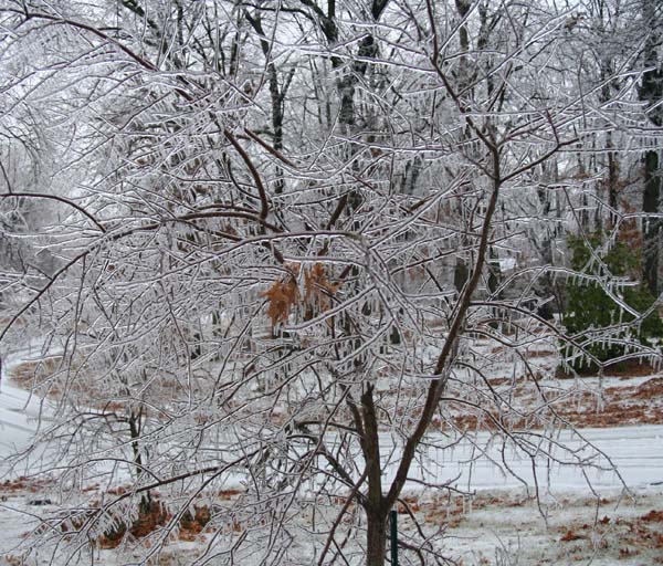
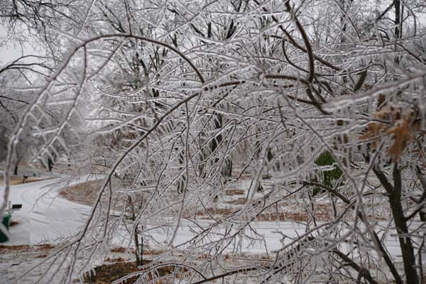
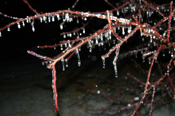
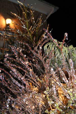
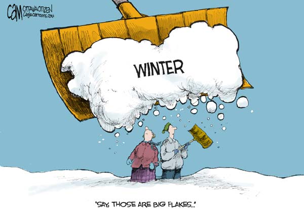
A major winter storm is going to hit the region on Monday night and Tuesday. I am very concerned about an ice storm. Not sure just yet how much sleet vs freezing rain falls. If this storm is mostly freezing rain then we will be in big trouble – lot of tree and power line damage.
Here is my email from this morning:
UPDATED: Saturday, January 24, 2009
If anyone being forwarded this email would like to be on the primary email list then please email me at beaudodson@usawx.com (I will then add you). If you are getting forwarded emails then it is possible that you will miss updates because the person forwarding the emails may not also be available (especially on weekends or at night).
Threat:
Wintry precipitation – medium confidence
Time Period:
Monday night into Tuesday and Wednesday into Thursday
Note: This is a particularly difficult forecast. Computer models are offering very little in the way of assistance as to how this storm develops. Run to run inconsistencies are making the confidence in this forecast lower than usual. This is simply my best thought on how this unfolds. It could change over the next 48 hours. I will be more confident in how the storm unfolds as we draw closer in time to the on-set of the event. The best idea is just to prepare for a possible winter weather event late Monday night into Tuesday.
A very complex weather pattern is setting up across the five state region. Computer models are coming a little closer together this morning in painting a significant winter storm across Missouri, Illinois, Indiana, Kentucky, and Tennessee.
Latest guidance indicates that precipitation will start to break out on Monday night across our area – possibly as late as Tuesday morning. The precipitation will become heavier during the early morning hours of Tuesday. There is some debate as to just what time the precipitation begins. At this time (and this is an early thought) I believe it will be after 10 PM in Paducah, Kentucky. It will spread eastward from there throughout the night.
There is one model that breaks the precipitation out on Tuesday morning instead of Monday night. Regardless, it appears that a wintry mix will occur across the whole region early next week (at least at the beginning of the storm).
Major differences in precipitation totals are indicated on the models. The GFS (one model of choice) and the EC (another model of choice) shows heavy totals (greater than 1") across Kentucky.
There are also differences in the track of the storm system. This is going to have major impacts on just how much precipitation falls across our region. Unfortunately, there is very little model agreement. So, I am left to figure out how this forecast will pan out.
If the majority of precipitation falls as freezing rain on Monday night and Tuesday then this would be a significant ice storm.
At this time I am leaning towards a freezing rain and sleet solution for Southern Missouri into Kentucky. Freezing rain changing to rain across Tennessee. Snow across portions of Southeast Missouri and northern portions of Southern Illinois. Freezing rain and sleet across Southern Illinois and Southern Indiana. Freezing rain and sleet may change to rain across portions of Kentucky on Tuesday. This would certainly help lower ice accumulations.
This is a complex and potentially significant winter storm. We are still three days away from the event and much can change during that time. I think everyone is aware that winter storms are notoriously difficult to forecast for this region. A slight change in the rain/ice/snow line will cause major changes in this forecast. The freezing line will be within a few counties of West Kentucky – either north or south – on Tuesday. Again, this could cause ice to change to rain. If this occurs, obviously, this is going lower ice accumulations. Stay tuned.
I am now fairly confident that the winter storm will impact our counties. I am not as confident, yet, on just how much precipitation forms or for how long it remains below freezing. These are details that will be worked out in the coming days. At this time I am expecting sleet and freezing rain accumulations of greater than 0.25" over Southern Illinois and West Kentucky. I am not willing to go higher than that at this point due to inconsistencies in available data.
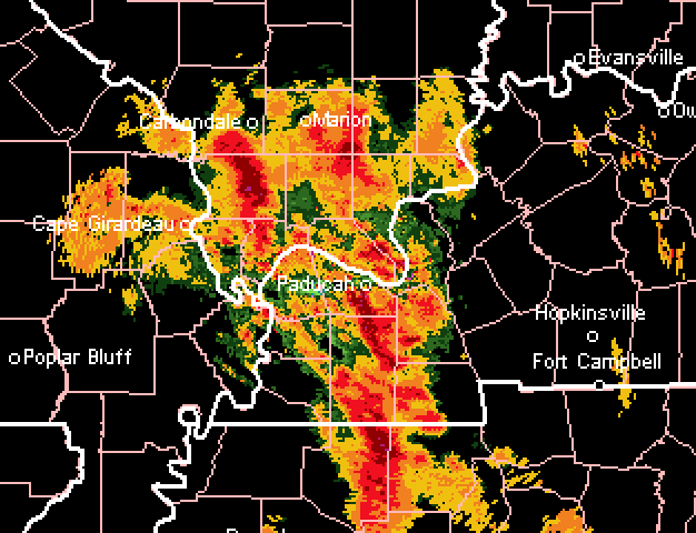
I am attaching a forecast precipitation total map put out by the National Weather Service. You can see that totals are significant across portions of the region. Now, some of this is because of a second storm that should develop on Wednesday. At this time, I believe that precipitation will fall in the form of rain. This is subject to change. However, you can get a better idea of just how much precipitation could fall in the coming days by looking at the attached map.
Stay tuned to NOAA Weather Radio and local media for the latest information on this developing winter storm.
I will update this forecast either later tonight (Saturday night) or Sunday morning. I am expecting the NWS to issue some sort of winter storm watch for at least portions of the region by sometime on Sunday for Monday night and Tuesday.
Beau Dodson
Meteorological Specialist for the Paducah/McCracken County Emergency Management Team
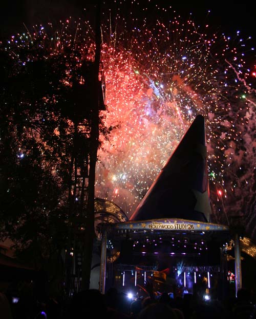
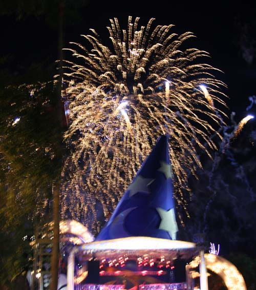
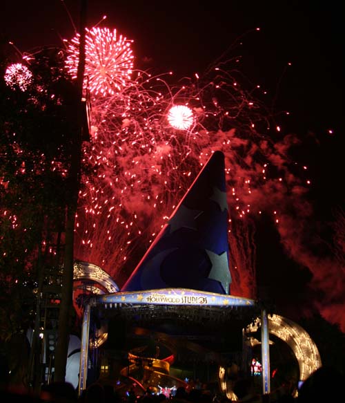
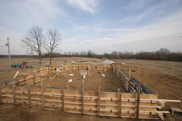
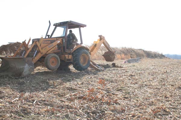
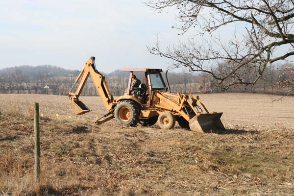
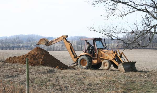
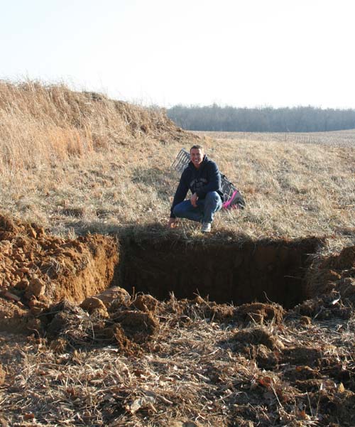
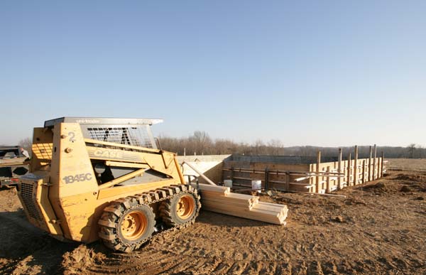
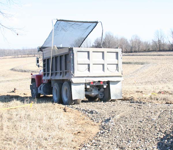
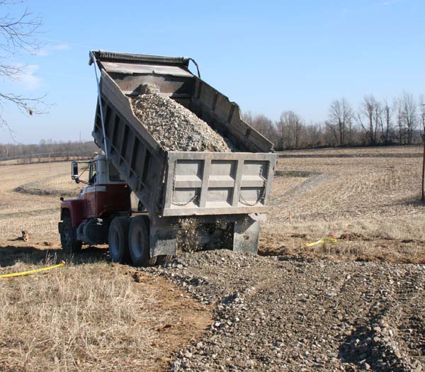
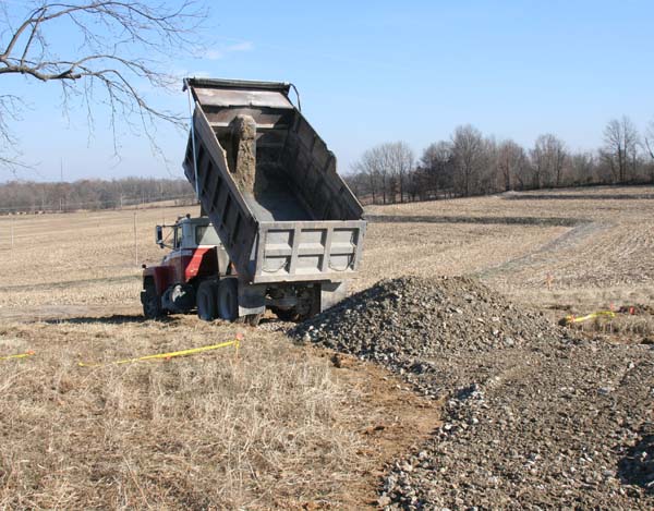
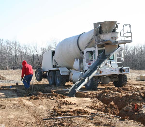
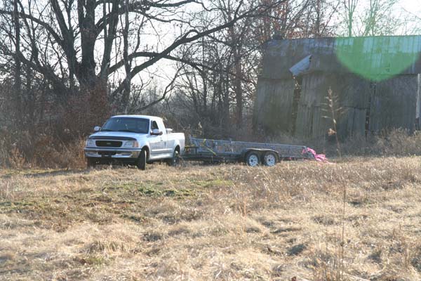
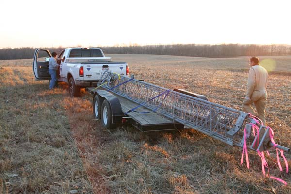
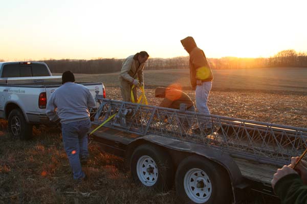
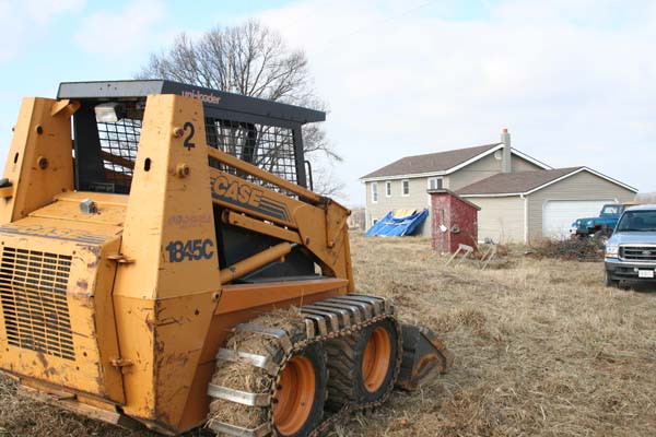
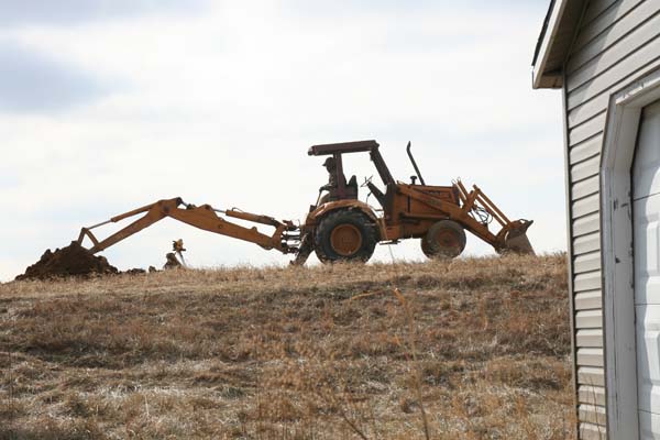
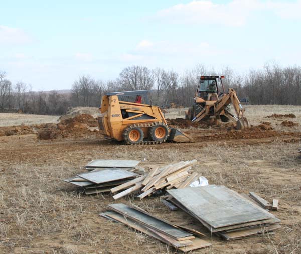
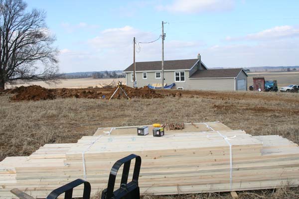
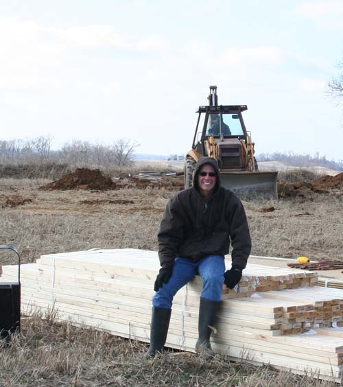
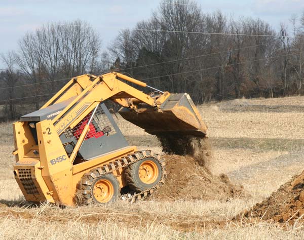
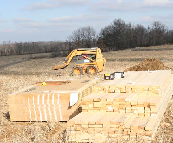
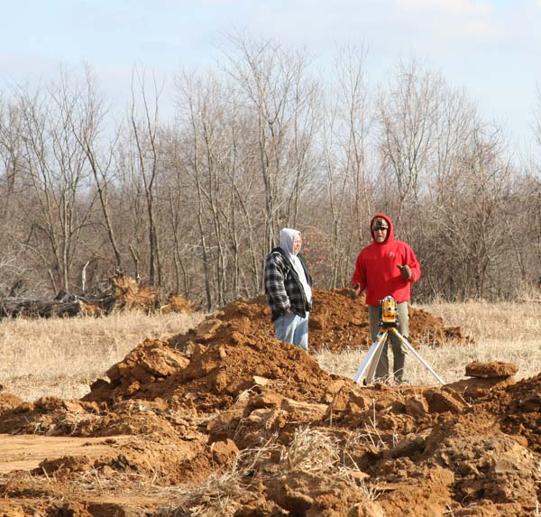
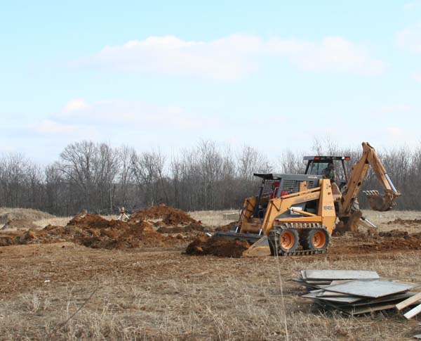
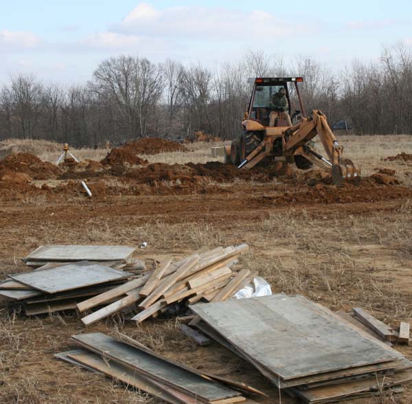
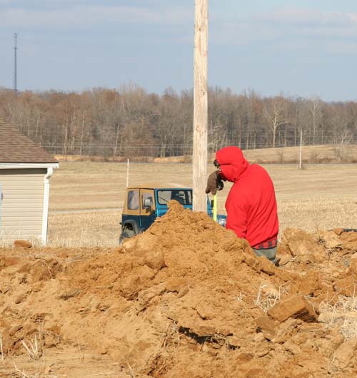
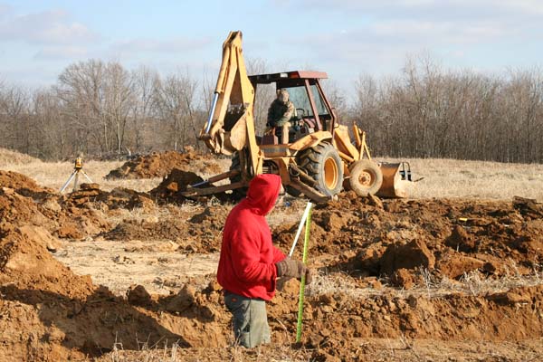
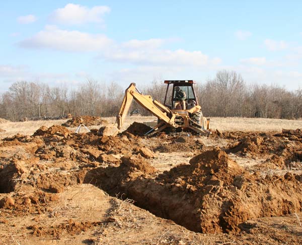
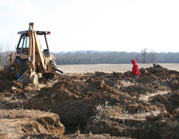
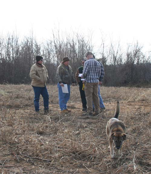
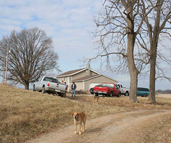
Some photos from today…
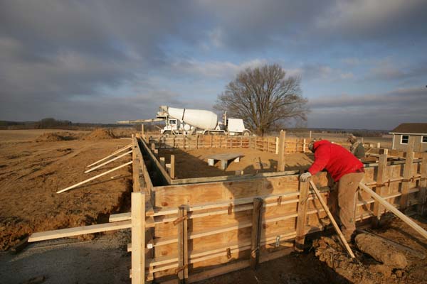
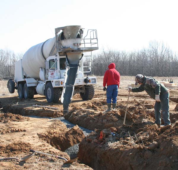
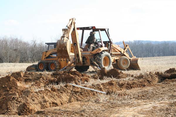
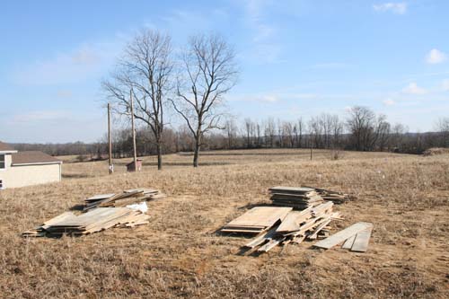
Finishing up the foundation walls – cold and windy day.
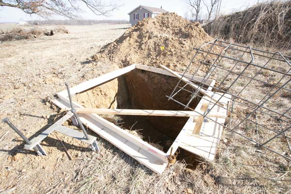
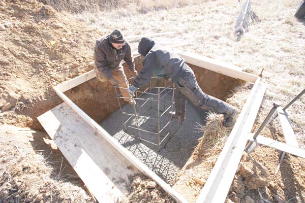
The "HOLE"
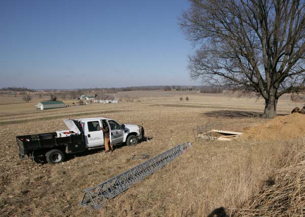
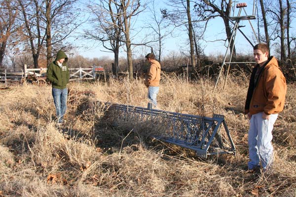
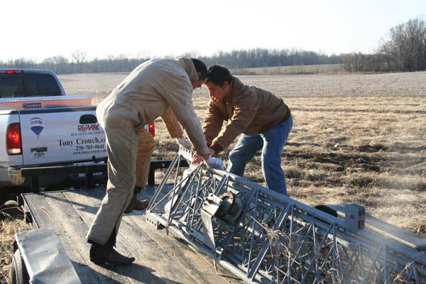
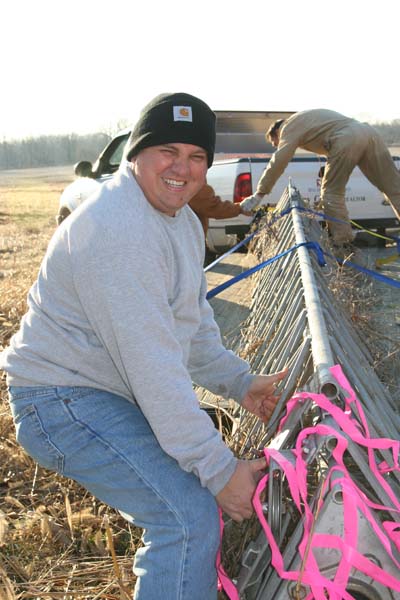
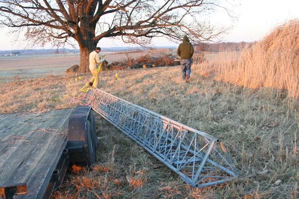
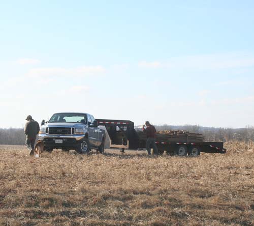
Barry Dummitt (I hope I spelled that correctly) is putting the tower up. He is with World Tower Company. He
is currently putting up a lot of 250′ towers across Central IL and Northern IL – for all of these new wind turbines
that you see going up and down the interstate. They use the 250′ towers for wind instruments.
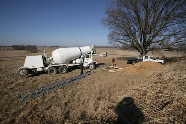
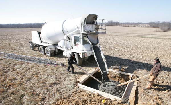
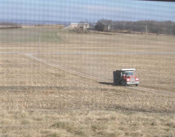
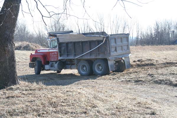
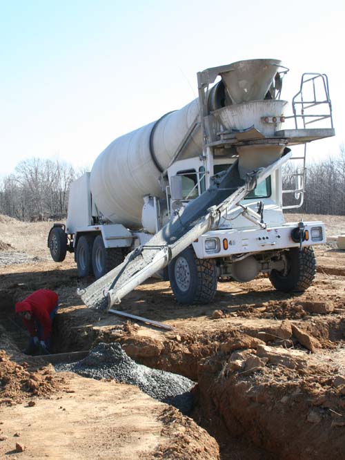
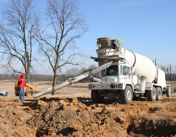
First concrete truck arrives. It took three trucks.
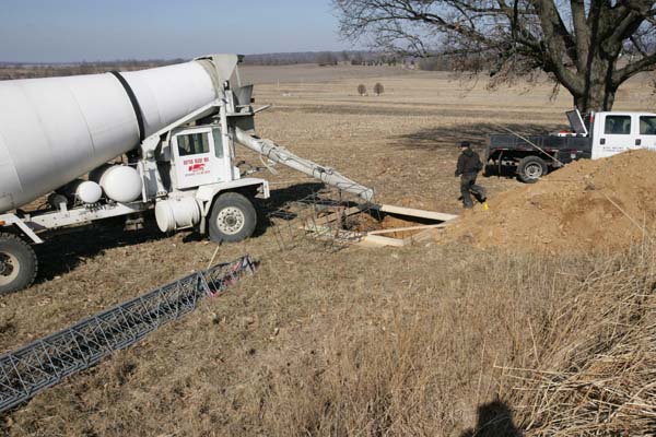
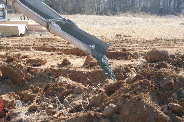
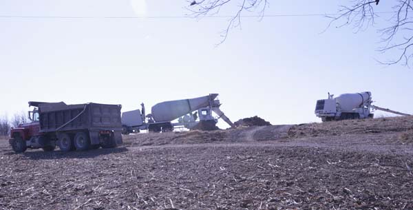
More concrete
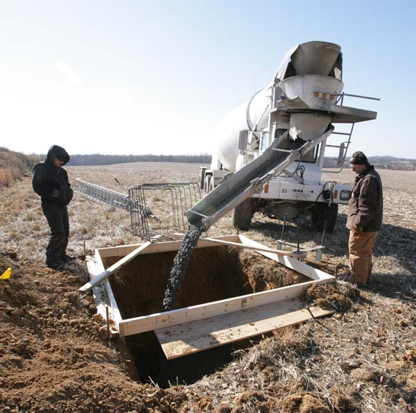
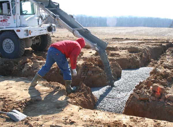
Slowly filling the hole with concrete
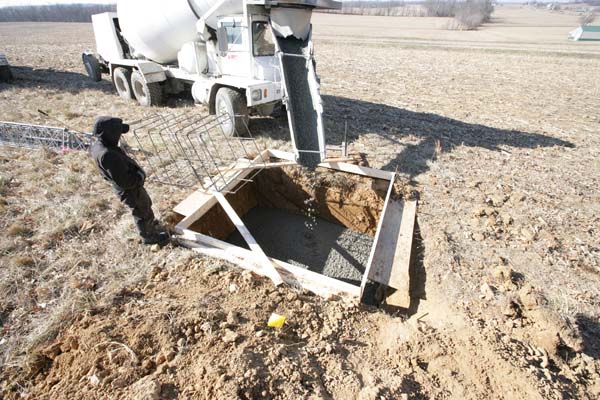
Stilllllll coming…
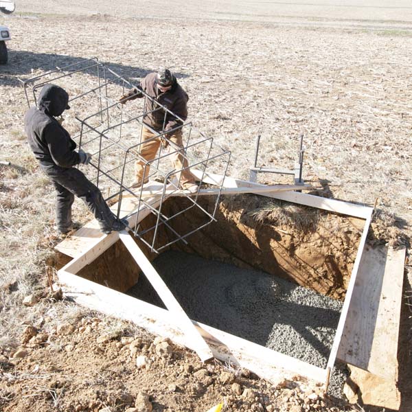
Placing the cage inside the concrete – this helps strengthen the base
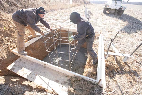
Placing the cage
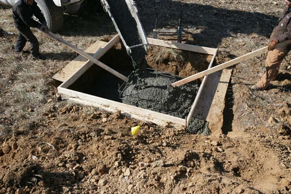
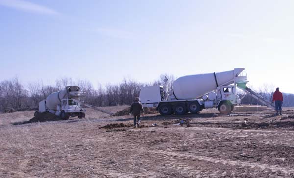
More concrete arrives – slowly filling the hole and the cage
AND WE HAVE IT FILLED!!!!
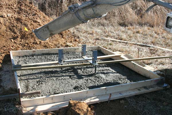
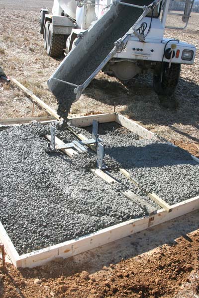
That is the base – three prongs – antenna tower will be placed on that base – next week perhaps.

.jpg)

.jpg)
.jpg)

.jpg)

.jpg)
.jpg)

.jpg)
.jpg)


.jpg)


.jpg)
.jpg)
.jpg)
.jpg)
.jpg)


.jpg)


.jpg)